
SUPPORT
trailmap
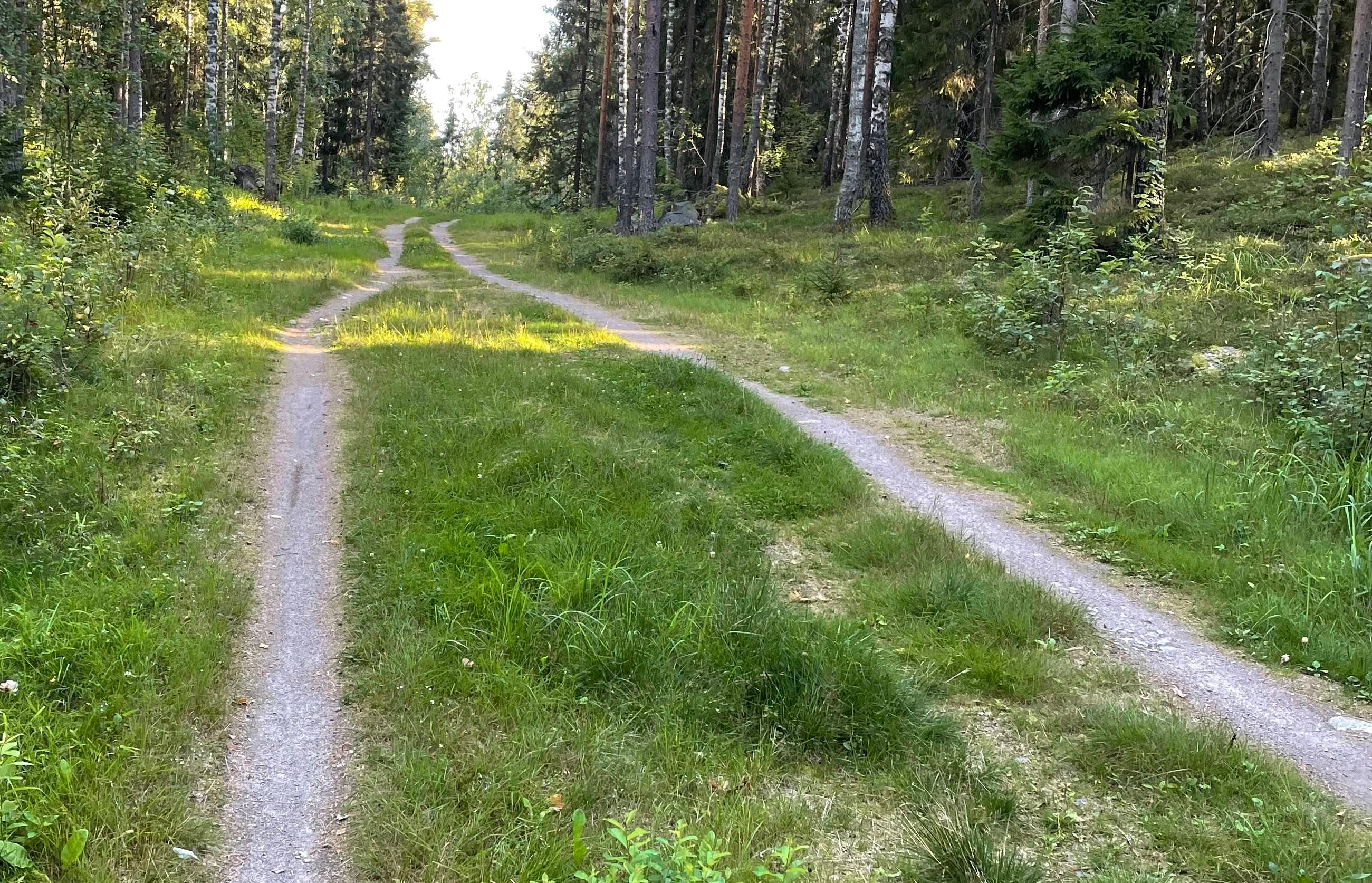
The beauty of gravel is the freedom to pick the day's route from countless options: tarmac, gravel road, forest road, a stretch of trail… Making use of that freedom takes a map (and routing engine) tuned to what gravel needs. That is the thinking behind the last few months of work on the revamped Trailmap's gravel map (https://web.trailmap.fi), ready for the challenges of the season ahead.
Below is a bit of a comparison against a few common apps. The pictures are from a "surprise spot" posted in the Finnish "hiekkatiepyöräily" (gravel riding) Facebook group — the place where a small group got a nasty surprise on a gravel route planned with RideWithGPS.
RideWithGPS: You have to zoom right in to see some of the roads (the so-called service class), there is no indication of road surfaces, it does not tell narrow trails apart from wider paths, it does not show the rideability classifications given to them, prohibited roads do not show, fields do not show.
 RideWithGPS map
Strava: Many of the same problems as RideWithGPS, but a bit better in these respects: smaller roads show up better, you can tell a trail from a wider path, trails only appear once you zoom right in — Strava's strength is the "heatmap", which helps in busier areas.
 Strava map
Komoot: A cut above Strava and RideWithGPS, but the road surface only shows for so-called tractor trails, and you have to zoom right in to see prohibited roads.
 Komoot map
Trailmap also shows the road surface (if the information is in OSM) and distinguishes the different road types from each other as clearly as it can. Buildings are pulled from MML's data, which makes it easier — even out in the countryside — to spot whether a route runs through a farmyard. The map also shows, from MML's map data and the JYU LIPAS data, things like official cycling routes, places (lean-tos, fire pits, beaches and so on) and MML's roads and trails, some of which are missing from OpenStreetMap. The features of MML's NLS topographic map are in there too: contour lines, hillshading, nature reserves, and so on and so forth.
 The new Trailmap map, gravel variant
When you zoom out for the big picture, RideWithGPS and Strava quickly "lose" the smaller roads, which makes it impossible to see where you could run a route. Komoot holds on longer until it too switches to "highway" mode. Trailmap keeps showing the smaller roads of the network for as long as it can: the map does end up looking a little "busy" visually, but it lets you do the rough, high-level planning of different route options.
 The Trailmap gravel map, overview
On the other hand, sometimes even on gravel it makes sense to see terrain detail at the level you would typically look at for mountain biking or trail running. In that case you can switch on the mtb map in the map settings, which shows the landforms and other details more precisely.
 The Trailmap gravel map, mountain biking i.e. mtb mode
If you ride "road gravel", i.e. only the bigger roads of the network meant for car traffic, any of the above apps will do fine. But if what you want from gravel is peace from cars and perhaps a bit of adventure on smaller ways and even the odd stretch of trail, then you are better off picking either Komoot or Trailmap. The next post will dig into the routing engines of those apps. I can tell you in advance that there is plenty to marvel at there, and the recommendation above only gets stronger.